
Cleaning up its act ...
But don't fill your jugs in Smith Lake just yet
By Cindy Yurth
Tséyi' Bureau
(Editor's note: In an effort to chronicle the beauty and diversity of the Navajo Nation, as well as its issues, the Navajo Times has committed to visiting all 110 chapters in alphabetical order. This is the 80th in the series. Some information for this series is taken from the publication "Chapter Images" by Larry Rodgers.)
SMITH LAKE, N.M., April 3, 2014


(Times photo - Cindy Yurth)
TOP: Named after an early trader, Smith Lake is a ghost of its former self since the drought. However, it still provides a refreshing view of water in the desert of Eastern Agency. It's a natural lake perched in a depression atop the Continental Divide, and attracts ducks and amphibians.
BOTTOM: Smith Lake Chapter members listen to Ryan Biehl of Souder, Miller and Associates explain why their drinking water tastes so bad and a possible solution at the regular chapter meeting last Friday.
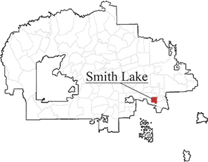
When you first pull into Smith Lake from New Mexico Route 371, your first thought is that this must be one of the luckiest chapters on the rez.
On the cool, broad spine of the Continental Divide sits a cluster of Navajo Housing Authority homes on the shore of what could either be described as a large pond or a small lake, complete with a bobbing pair of ducks.
Good paved roads run perpendicular, one north to Farmington and south to Thoreau, the other west to Gallup.
A well-stocked convenience store with gas pumps is just across the highway from the homes, and a big church (the former elementary school, closed when student enrollment started declining) is a short Sunday stroll away.
Provided your needs are simple, everything you need is here, and if it isn't you can always speed toward the rest of the world on nearby I-40.
It's not until you attend a chapter meeting that you begin to see below the shimmering surface of Smith Lake.
How to get The Times: