





Tornado watch issued for northern Arizona after Flagstaff warnings
Special to the Times | Donovan Quintero
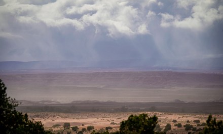
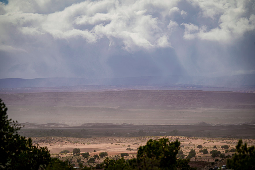
Thick, layered storm clouds gather over Chinle Monday, Oct. 19, as shafts of sunlight break through openings in the cloud cover, illuminating portions of the desert landscape below.

WINDOW ROCK
A tornado watch covered Coconino, Mohave, Navajo and Yavapai counties Wednesday after tornado warnings in the Flagstaff area prompted emergency alerts directing residents to take shelter.
The National Weather Service’s Storm Prediction Center issued Tornado Watch 688 at 10 a.m. Mountain Standard Time Oct. 21, with the watch scheduled to remain in effect until 6 p.m. MST, or 7 p.m. for Navajo Nation communities observing daylight saving time.
The watch included Camp Verde, Cottonwood, Flagstaff, Holbrook, Kayenta, Prescott, Sedona, Show Low, Snowflake, Whiteriver and Winslow.
A tornado watch means tornadoes are possible, while a warning means one has been sighted or indicated by radar and requires immediate shelter, according to the weather service.
At 9:09 a.m. MST, forecasters issued a tornado warning after detecting rotation in a storm about 9 miles southwest of Flagstaff. The storm was moving north at 45 mph, with the potential to produce quarter-size hail.
The warning included downtown and east Flagstaff, Northern Arizona University, Bellemont, Fort Valley, Forest Highlands, Camp Navajo and Arizona Snowbowl.
A second warning followed at 9:22 a.m. MST after forecasters detected a storm capable of producing a tornado over downtown Flagstaff. Both warnings were scheduled to expire at 9:45 a.m. MST.
“Take shelter now,” an emergency phone alert received by Flagstaff residents read.
The alert directed people to a basement or an interior room on the lowest floor of a sturdy building, away from windows. Those outdoors, in mobile homes or vehicles were told to seek substantial shelter and protect themselves from flying debris.
At 9:46 a.m. MST, the weather service announced the second warning had expired and the storm had weakened, although small hail and wind gusts of up to 50 mph remained possible as it moved northeast.
Both warnings were based on radar-indicated rotation.
Northern and central Arizona also remained under a flood watch through Thursday evening. Forecasters warned that heavy rain could cause flash flooding in creeks and normally dry washes, along with flooding at low-water crossings.
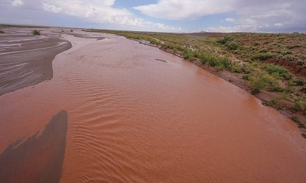
At 11:02 a.m. MST, the weather service issued a flash flood warning for Moenkopi Wash in Coconino County after a river gauge recorded a rapid rise of about 8 feet following heavy thunderstorms.
The warning, scheduled to remain in effect until 3 p.m. MST, or 4 p.m. MDT, included Moenkopi and portions of U.S. highways 160 and 89 and State Route 264.
Forecasters warned of life-threatening flash flooding in and around Moenkopi Wash, with the potential for severe debris flows and washed-out roads.

 Highway 264,
 I-40, WB @ Winslow
